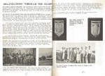
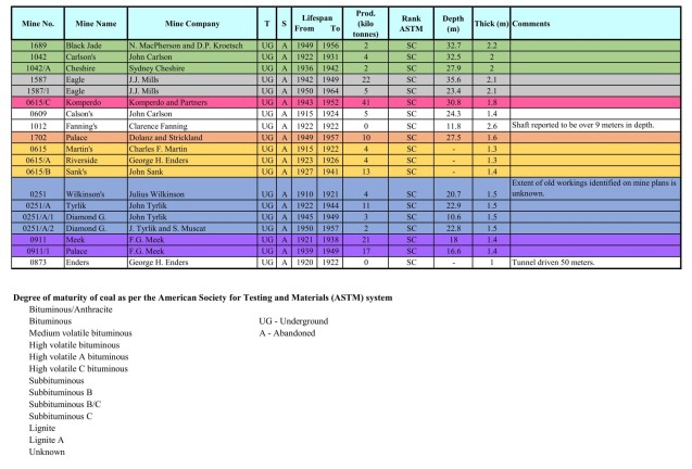
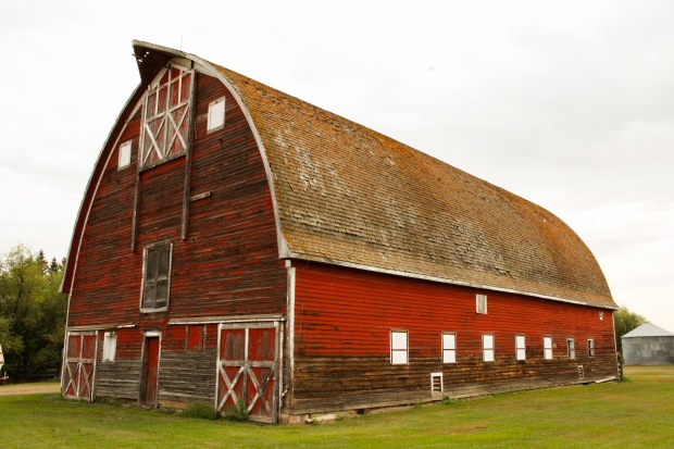
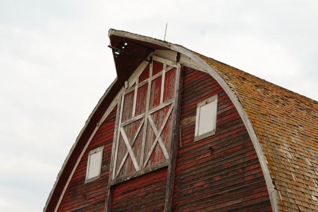
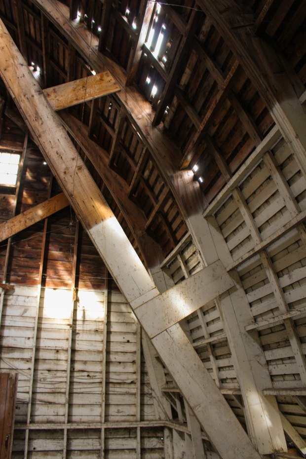
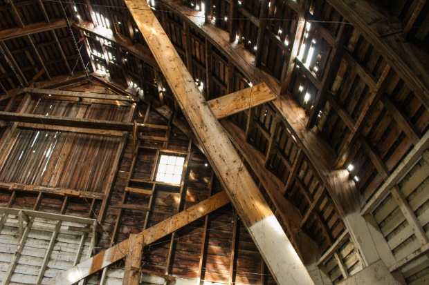
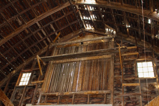
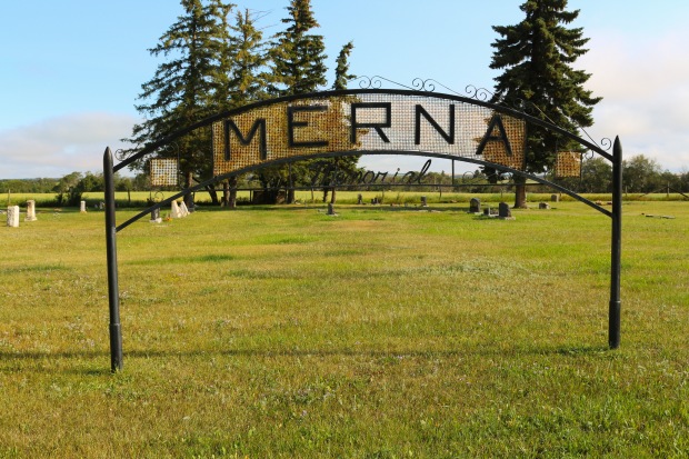
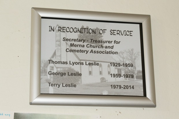
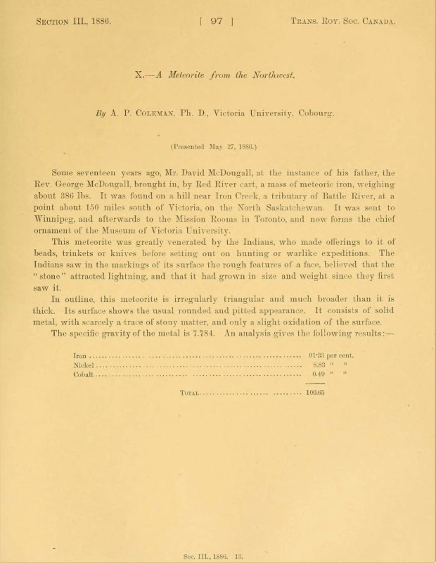
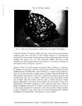
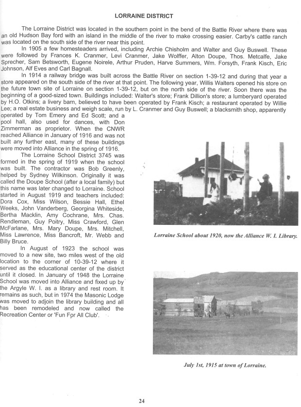
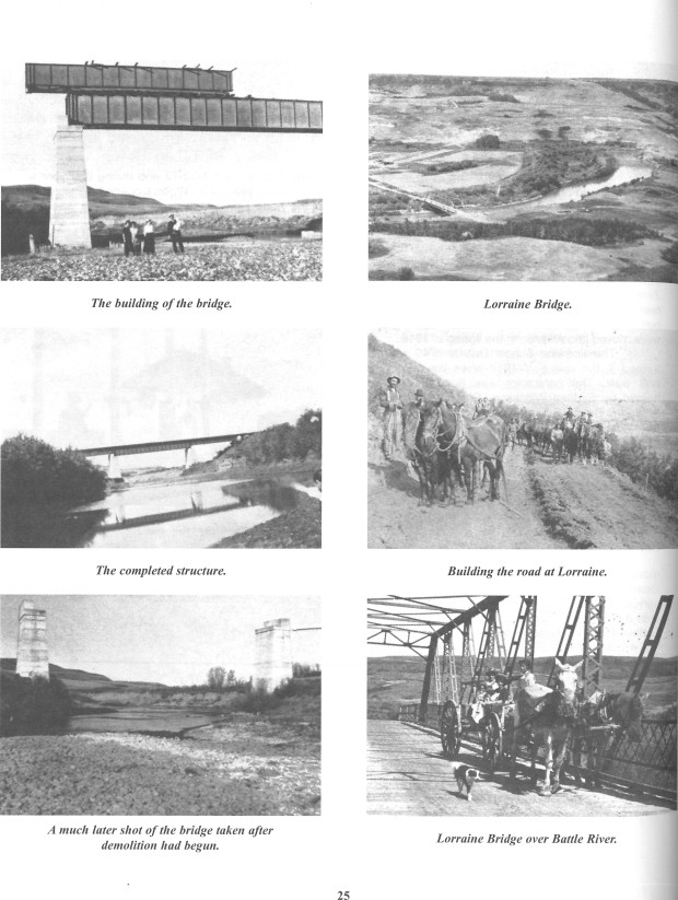
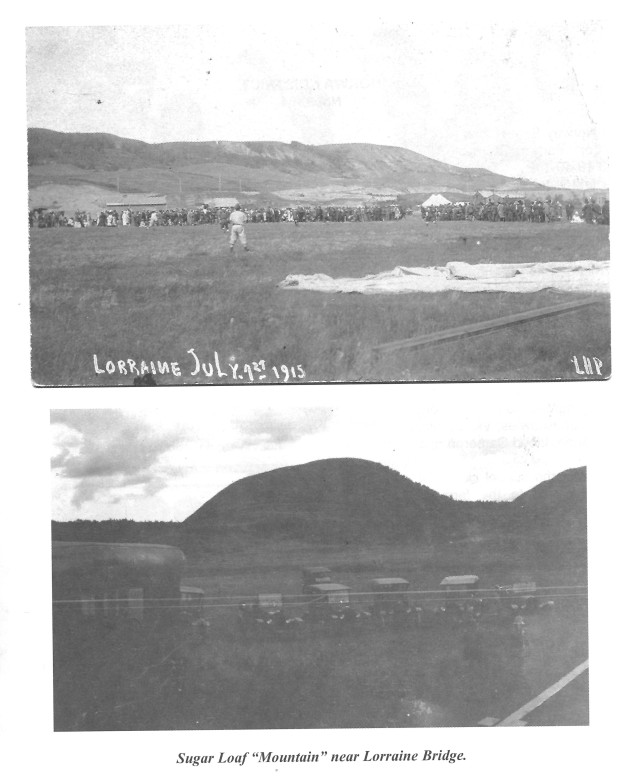
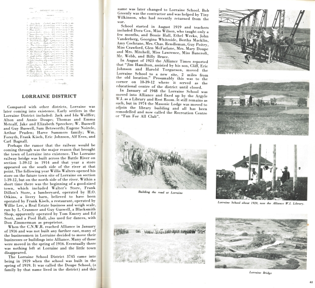
History
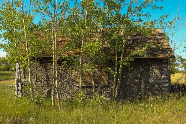
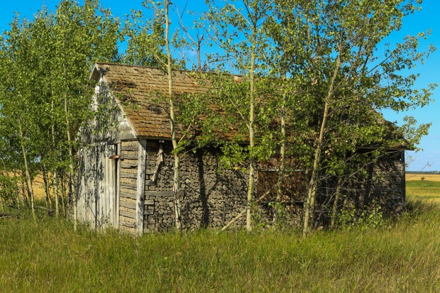
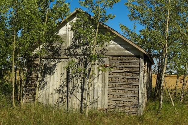
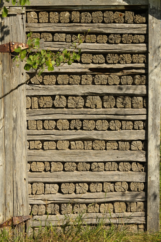
There were many family owned and operated coal mines in the Heisler area of Alberta during the early part of the 20th century. These mines were underground and, for the majority of their use, mostly dug by hand. Each mine had a tipple, a few wooden coal cars, and an assortment of other mining tools. As time went on, many mines purchased electric-powered mining equipment to help with the undercutting process. All of the following mines used the room and pillar mining technique.
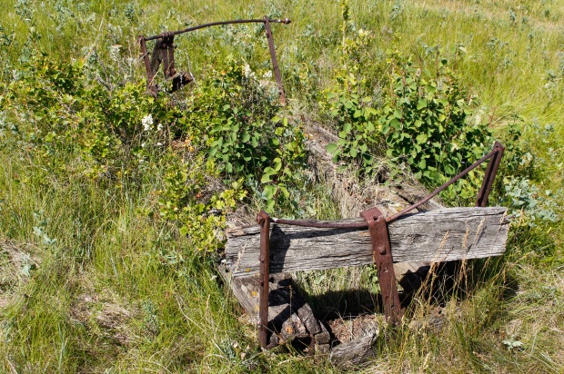
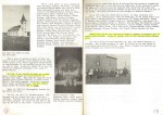
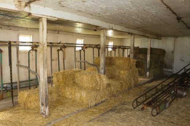
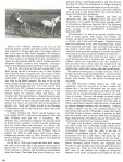
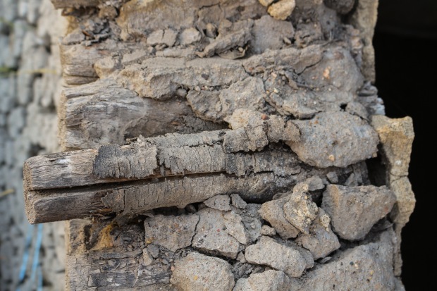
This frame shows one of the typical old coal cars that scatter these sites.
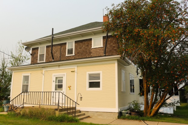
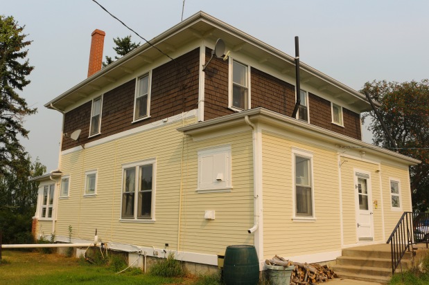
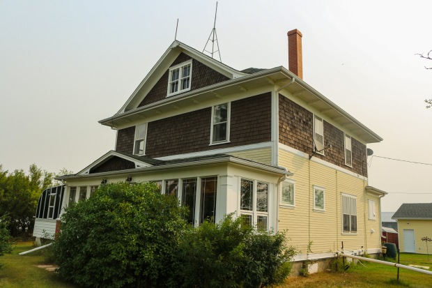
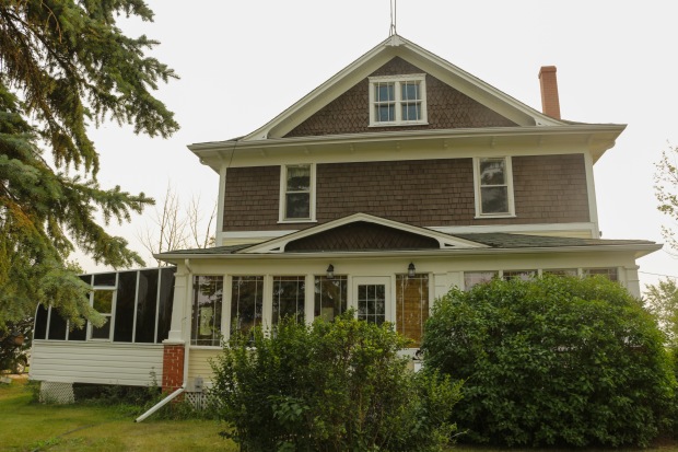
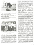
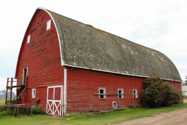
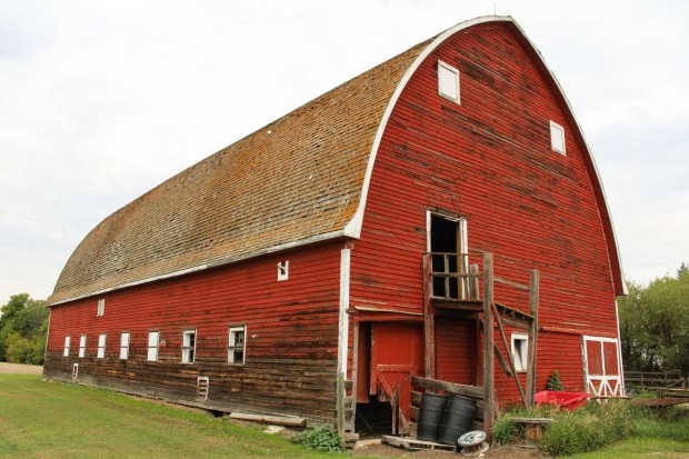
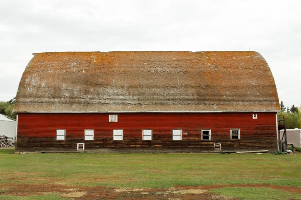
Komperdo Mine
Sebastian and Nora Komperdo bought this mine in 1946 from John Sank with Sebastian’s four brothers and a father-in-law. They were Sebastian, Joe, Fred, and John Komperdo and Steve Tury (Fred’s father-in-law). They came from the Crowsnest Pass area of Alberta. The Riverside Coal Mine, as it was known, was given its name by George H. Enders, the owner of the mine before Sank.
This mine was first active in 1915 under Charles F. Martin’s care until 1922, as Mine Number “0615”. Enders purchased the mine after that and ran it until 1926, as Mine Number “0615/A” when Sank took over. Sank ran the mine until 1941, as Mine Number “0615/B”, at which point the Alberta Energy Regulator‘s Operating and Abandoned Coal Mines in Alberta documentation stops for that mine on that section of land; however, there is a mine with the same mine number nearby. The Alberta Energy Regulator’s list says that Komperdos operated Mine Number “0615/C” from 1943 until 1952.
Nora Komperdo’s recount in the Heilser history book states that her family’s mine operated from October 1946 until June 1952. Coal was mined underground by machine cutting and blasting followed by loading coal into mine carts for removal to the surface. Two horses were used to bring the carts to the surface. From there, the coal was hoisted up and over tipple into separate bins. It could then be loaded into farmer’s carts and trucks or hauled to Heisler by truck to be loaded into box-cars. This coal was not only used locally but also shipped as far North as Dawson Creek, British Columbia (~790 km) and as far East as Sarina, Ontario (~3,000 km).
This mine employed an average of twenty-five men while it was operated by the Komperdos. Many of these men lived in the work camp or on nearby homesteads. Many of the children went to the Greenock School (see “Additional History” Section).
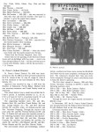
After the mine closed, Sebastian and Nora Komperdo moved to Killam, Alberta. They had two daughters: Doreen (Mrs. Francis Petty of Peers, Alberta) and Virginia (Mrs. Kevin Hynes of Beaumont, Alberta). Joe Komperdo and his wife Renee moved to Killam as well. They had three children: Joyce (Mrs. Don Allers of Fawcett, Alberta), Joe of Camrose, and Brian of Lougheed. Fred and Pauline Komperdo moved to Daylsand and then to Barrhead, Alberta. They had three children: Edward of Cassier, British Columbia, Mary of Brooks, Alberta, and Loren of Calgary, Alberta. John and Cecilia Komperdo moved to Lundbreck, Alberta. They had three daughters: Geraldine (Mrs. Brian Huisman of Brooks, Alberta), Joan (Mrs. Mike Zezel of Robb, Alberta), and Carol. Steve Tury and his wife lived in Daysland. They had two children: Steve of Daysland and Pauline (Mrs. Fred Komperdo of Barrhead, Alberta).
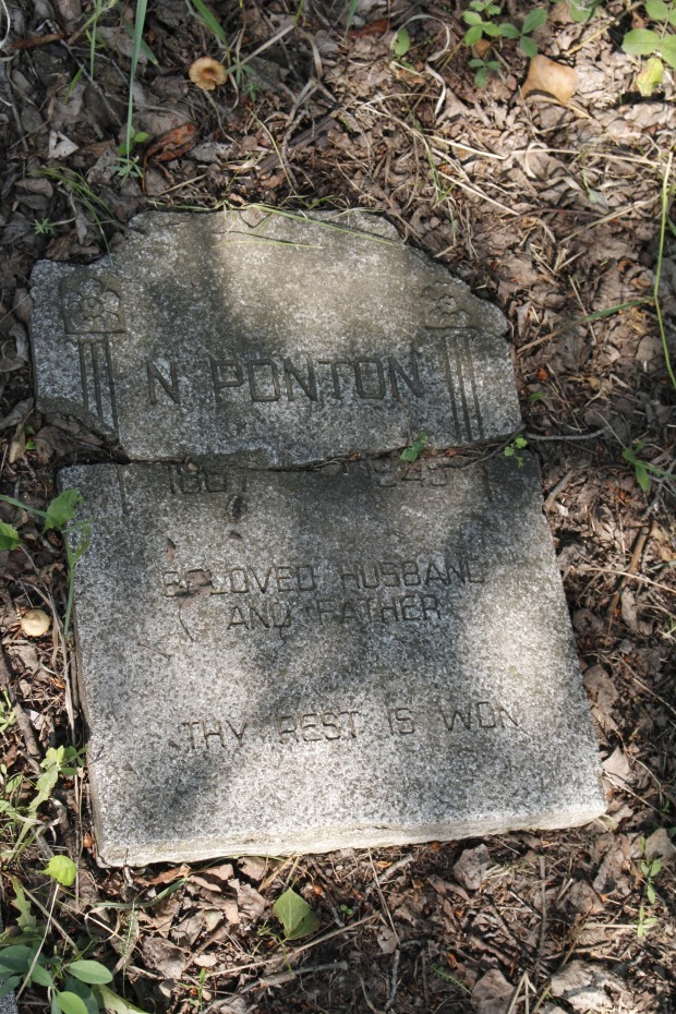
No Present Day Photos of Mine
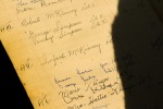
Komperdo, Nora. “Komperdo, Sebastian and Nora” Wagon Trails in the Sod: A History of Heisler and Area. 1st ed. Heisler: Heisler Historical Society, 1982. Print.
Mills and MacPherson Mines
In 1921, Donald Alexander MacPherson came to Alberta from Ontario. His wife, Sara Jane, and children accompanied him. They were: Elise, George, Archie, Sandy, Annabell, Norman, and Harold. The family first went to Daysland and then to Rosalind. Harold, who was six when the family came out, married Mary Fontaine in 1936. Norman farmed for a while but then began working in the coal mines. Norman began working in the J.J. Mills Mine near Rosalind; however, in 1940 J.J. Mills moved to the Heisler district to take over the Carlson Mine. By that time, Norman and Mary had a daughter named Faye. Norman hired Ed Pizzy to move the family and their belongings to a new, but very cold log house called “The Cheshire House”, after the miners who built it.
The old J.J. Mills Mine either ran out of usable coal or got too deep to continue digging safely and was abandoned. A new mine, on the quarter to the East, began in its place. The family moved their household to this location, this time with a second daughter, Judy.
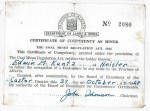
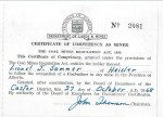
In 1947, Norman decided to try mining on his own and went to Edmonton to write for his Underground Coal Miner’s Certificate. After succeeding with this, he opened the Black Jade Mine in the spring of 1948 in partnership with Jim Schatz until Jim left mining and was replaced by Delmond Kroetsch. Following the opening of the Forestburg Collieries strip-mining operation, Black Jade struggled and would close after the winter of 1952/1953.
Norman and Mary took up farming for a time, then ran a cafe for one year, and then went to work for Stettler County as chief cook and serviceman. In 1963, they were able to begin the same sort of work with Flagstaff County and could spend more time closer to home. In 1973, the pair moved to Sedgewick and in 1980 they retired.
Their daughter, Faye Campbell, remembers, in the early years living on the mine, having to haul the coal from the mine to their home by hand. It was one mile to the house with on a steep slope. The chore was hard work before the family got coal cars on the property.
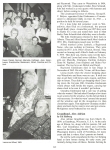
Faye also says tells two other stories of their family’s time mining. First, is about the time her father, Norman, decided to get get his Miner’s Certificate. Faye had been saving up her nickles and dimes that she got as an allowance and for doing odd-jobs in the hopes of using her savings for something big one day. She kept her nest egg in a tin can in the house; she had amassed quite the fortune for someone of her age. However, when her father needed to write the Miner’s exam, he borrowed all of $15 from Faye. This ended up being the majority of the savings in the tin; Faye jokes that to this day she does not know if her father ever paid her back. A second story of note as told by Faye concerns the matriarch of a neighbouring coal mine, the Carlson’s coal mine. This nearby mine supplemented their income by making and storing moonshine down in the coal mine. Often, the R.C.M.P. would come by to try and catch the rum-runners in action. It was said that Mrs. Carlson would often save the day and keep up the ruse by sitting on the barrel of hooch that was kept above ground. Mrs. Carlson would be cooking dinner over an open fire when the R.C.M.P. arrived and would cover the entire barrel with portions of her skirt. In this way, the R.C.M.P. would not be able to find any above-ground stores since the rest of it was kept deep in the mine or buried in the hillside nearby.
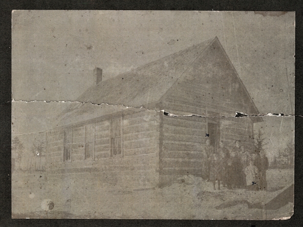
The MacPherson’s youngest daughter, Judy, remembers attending Greenock School with many of the other miners’ children; however, she also attended Heisler, Forestburg, Killam, and Bashaw schools after Greenock closed in 1952.
No Present Day Photos of Mine
Campbell, Faye. “MacPherson, Norman and Mary.” Wagon Trails in the Sod: A History of Heisler and Area. 1st ed. Heisler: Heisler Historical Society, 1982. Print.
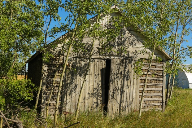
Strickland Mine
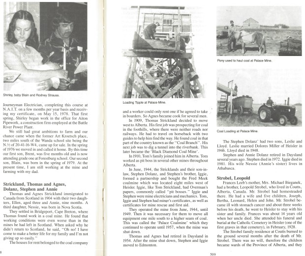
Thomas and Agnes Strickland came to Canada from Scotland in 1904 with their two daughters Ellen, 3-years-old, and Annie, nine months old. Their third daughter was born in Nova Scotia, where the family settled upon entry to the country. Thomas found work as a coal miner in Bridgeport, Cape Breton but found that the working conditions were worse than what he had left in Scotland. In 1909, the family decided to move to Alberta. Thomas’ first job was prospecting for coal in the foothills. There were no roads or railways at the time and he had to travel on horseback, with two guides to show the way. He found coal in the Alberta Coal Branch but his next job was to dig a tunnel into the riverbank. This mine would become the “Black Diamond Coal Mine”.
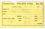
In June 1944, the Stricklands and their son-in-law, Stephen Dolanz, and Stephen’s brother, Iggie, formed a partnership and the Fred Meek coal mine. They operated that mine until 1949 when they moved all equipment to another site to the South. This new mine was called the Palace Coal Mine and they operated it until 1957. Thomas and Anges had retired to Daysland by this time (1954). After the mine closed, Stephen and Iggie moved to Edmonton.
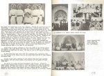
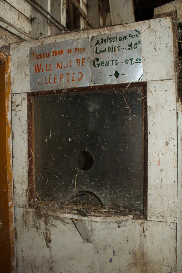
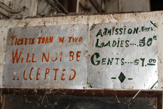
Historical Photos at Strickland Mines
-
-
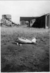
This model plane belonged to Lloyd Dolanz; a boy who died in the Strickland mine.
-

-
This frame shows Tom Strickland and Anges Dolanz
-

-
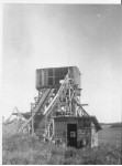
This frame shows the tipple with a man working on it.
-

-
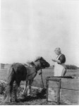
This frame shows the Strickland girl at home on the mine. She is wearing a carbide lamp on her helmet. This girl grew up to be a very proficient Scottish sword dancer.
-
-
This frame shows another angle of the tipple.
-
-
This frame shows Mrs. Anges Strickland in her yard.
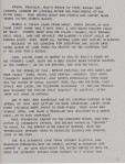
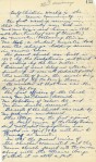
Paperwork from the Strickland Mines
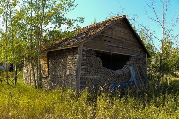
Meeks Mine
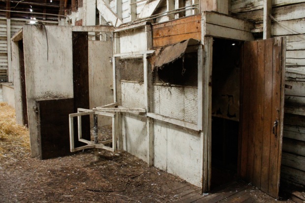
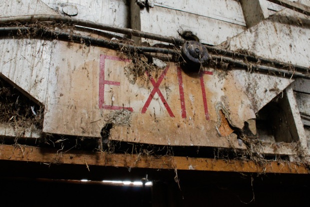
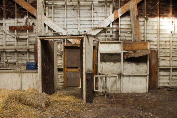
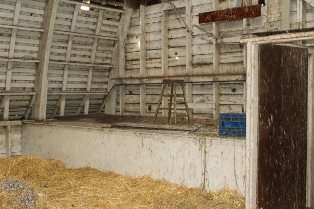
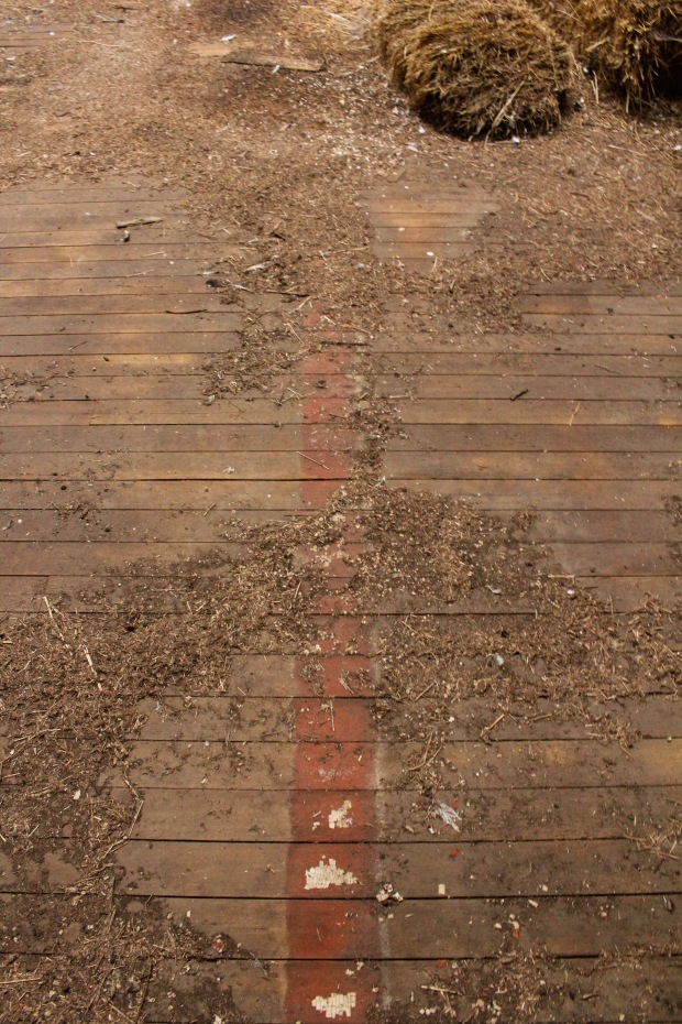
Present Day Photos
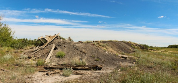
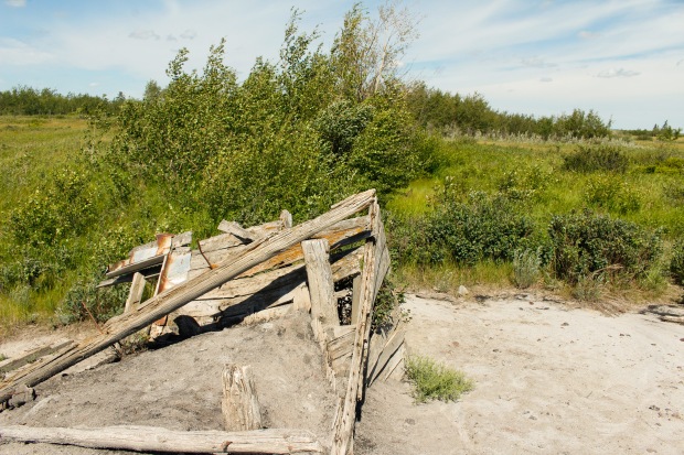
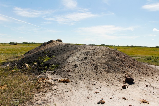
This frame shows the entirety of the slack pile.
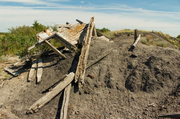
This frame shows the collapsed tipple.
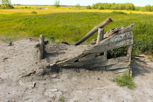
This frame shows the collapsed tipple from the other side.
This frame was taken on top of the tipple looking towards the collapsed mine shaft.
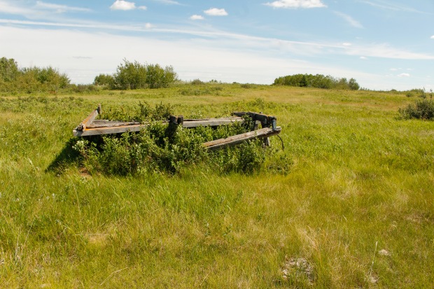
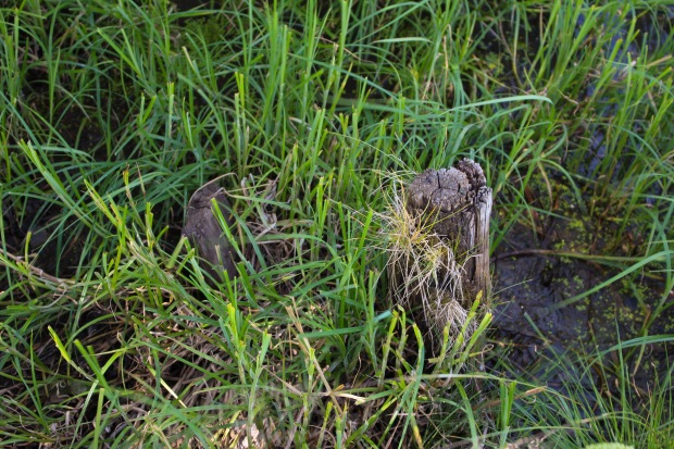
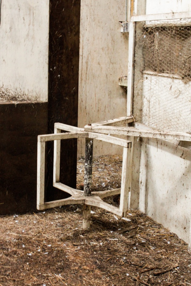
This frame shows an old coal car inside the mine shaft entryway. The ground here is very wet.
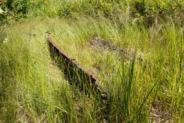
The old coal car.
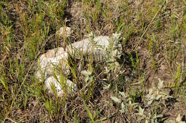
Another piece of equipment left over from the mine.
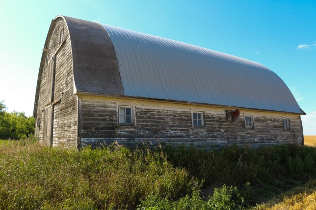
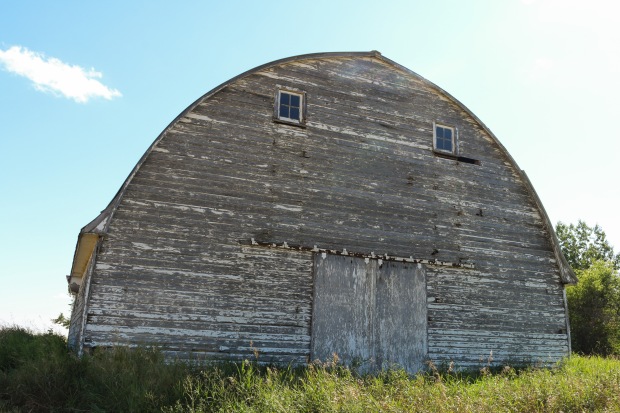
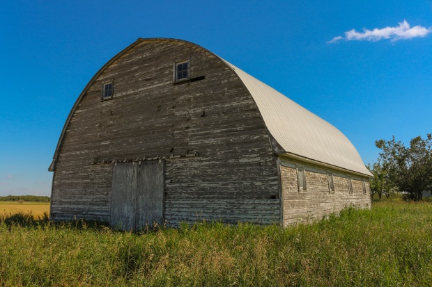
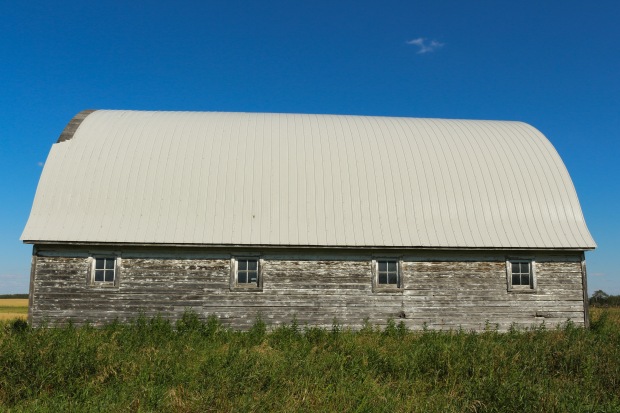
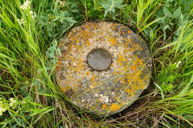
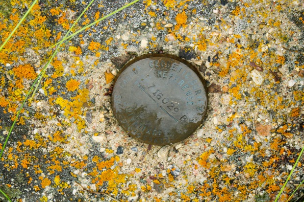
Palace Coal Mine
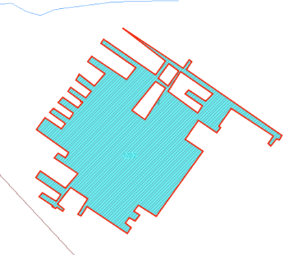
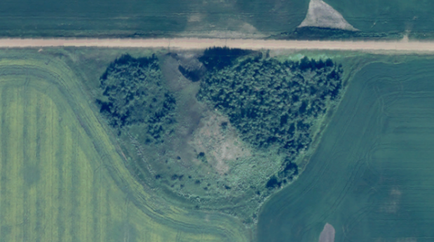
This diagram shows the shape of the Palace Coal Mine.
Present Day Photos
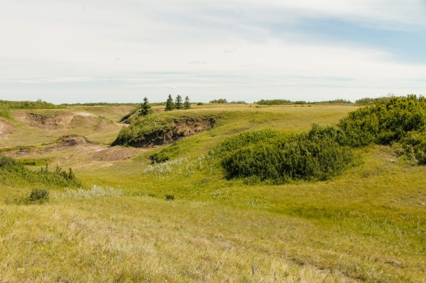
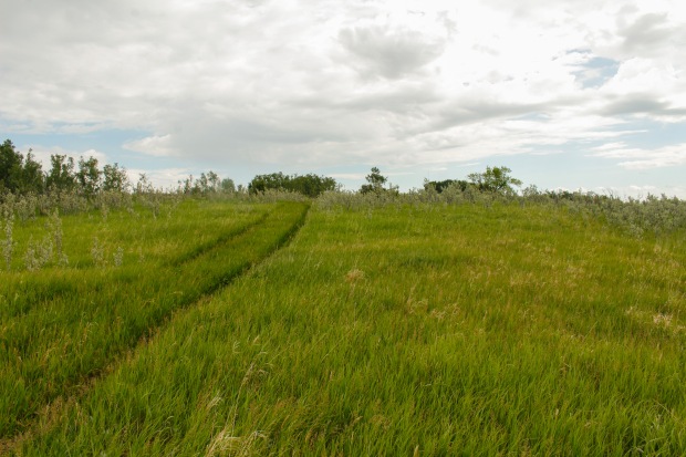
This frame shows the coal mine from afar. You can barely see the remnants of the mine. The slack pile is in the left side of this frame.
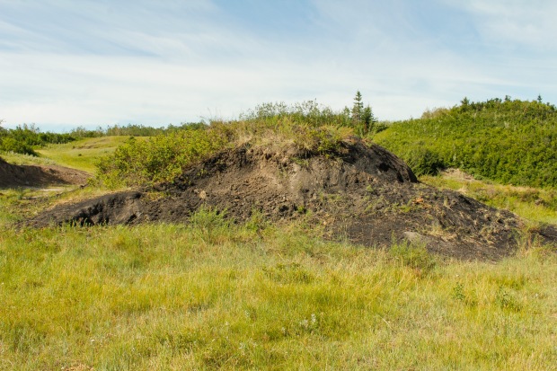
This frame shows the slack pile at the Palace Coal Mine.
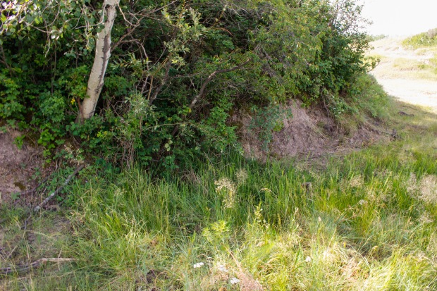
The mine shaft would have gone into this side of the hill.
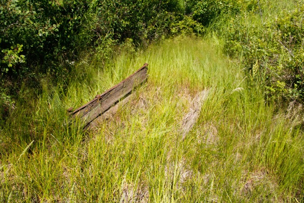
This frame shows the remnants of one of the wooden supports for the tipple or coal cart track.
Dolanz, Stephen and Annie. “Strickland, Thomas and Anges,” Wagon Trails in the Sod: A History of Heisler and Area. 1st ed. Heisler: Heisler Historical Society, 1982. Print.
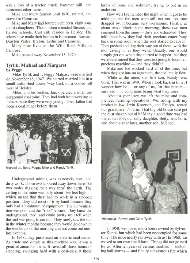
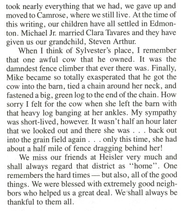
Tyrlik Mine
Michael and Margaret, also known as Peggy, Tyrlik were married on November 18, 1947. Michael and his brother, Joe, operated an underground mine. The brothers had been working as miners for a long time, like their father before them. The ceiling in the mine was only about five feet high, which meant that work had to be done bent over at the waist. The mining was extremely difficult and the pair had to do most of it by hand. They spent most of the working day below ground and rarely saw the sun in the wintertime.
In 1948, Michael and Joe purchased an electric coal-cutter, which was a huge advancement for such a primitive outfit. It saved them many hours of standing hunched over trying to form an undercut in the layers. One time, the men had still not arrived home to Margaret after nightfall. They finally turned up at two o’clock in the morning. They had been trying to save their coal-cutter from a cave-in.
This frame shows the slack pile at the Tyrlik mine.
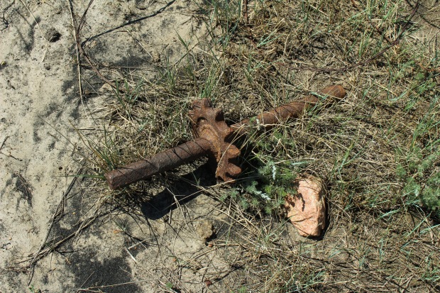
This frame shows an old gear for a piece of equipment on the mine. Like many of the old mine sites, pieces of metal, glass, and rubber scatter the site.
Peggy. “Tyrlik, Michael and Margaret” Wagon Trails in the Sod: A History of Heisler and Area. 1st ed. Heisler: Heisler Historical Society, 1982. Print.
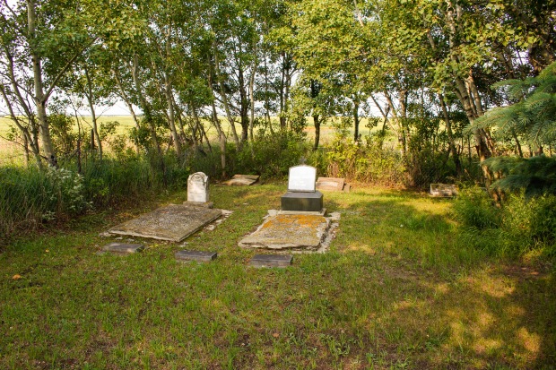
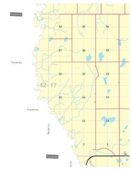
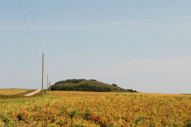
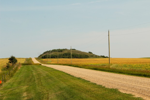
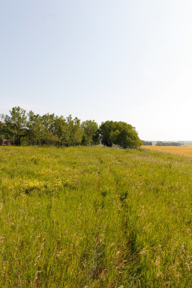
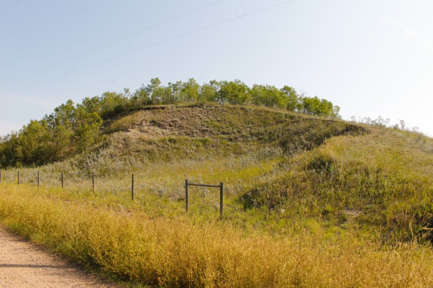
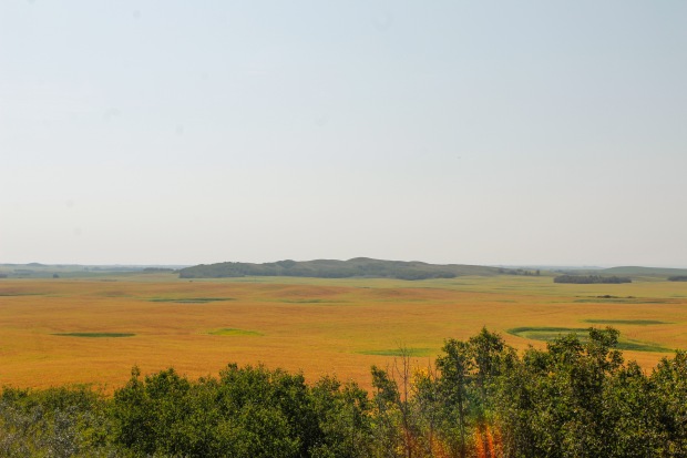
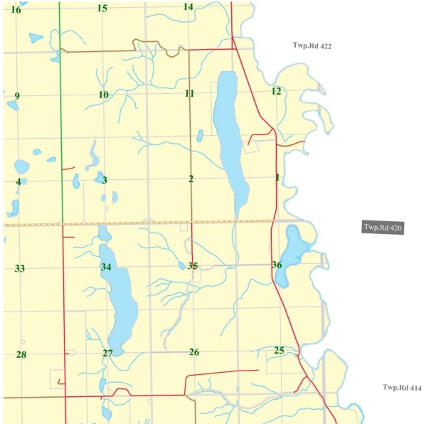
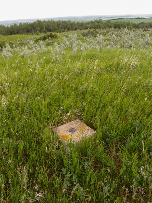
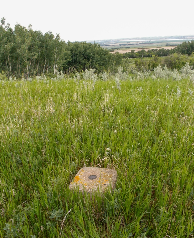
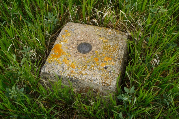
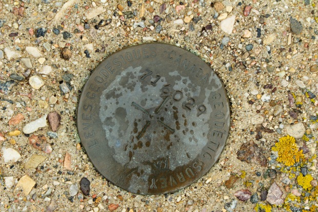
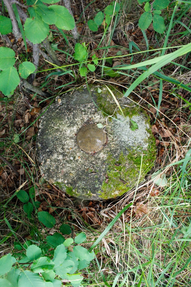
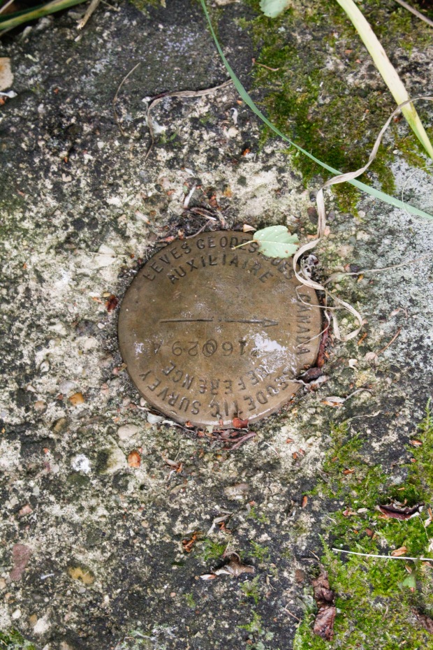
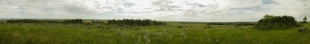
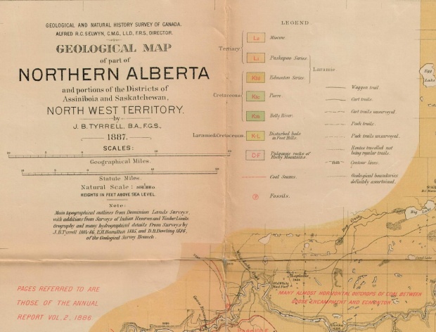
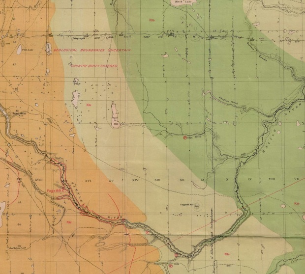
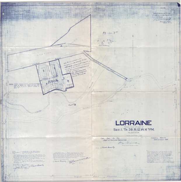
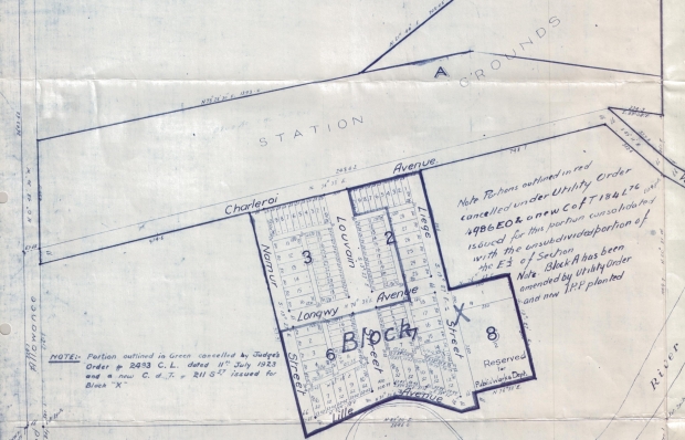
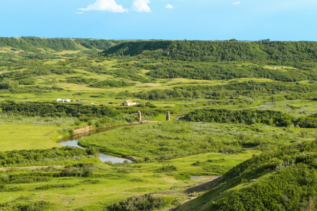
Location
The mines written about in this profile are located in the pictured vicinity.
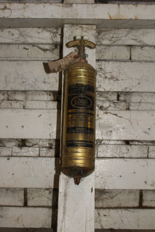
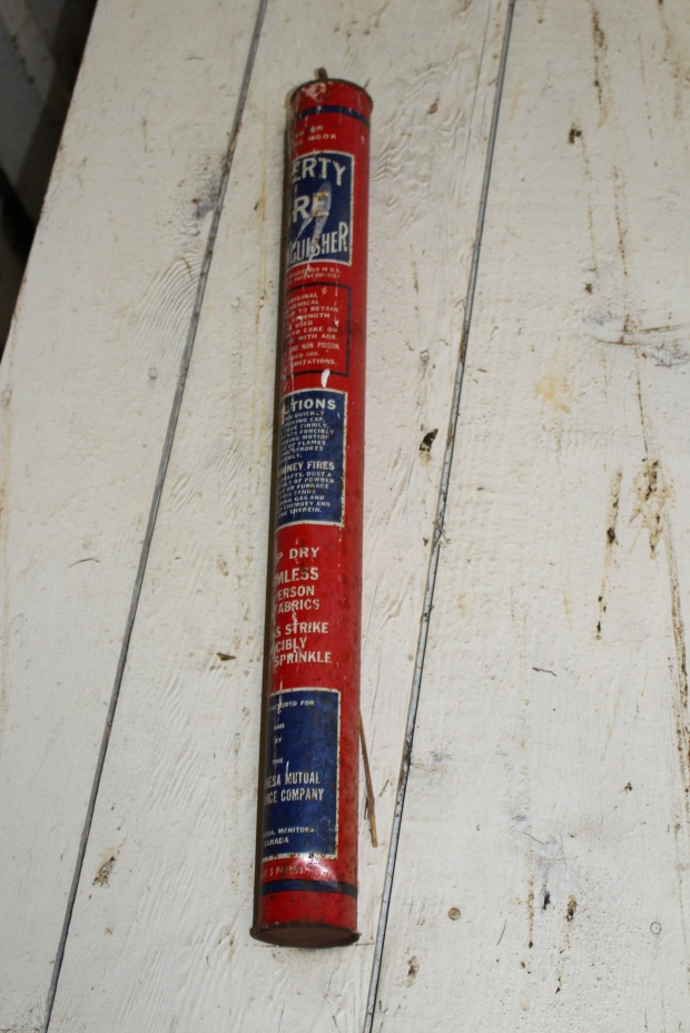
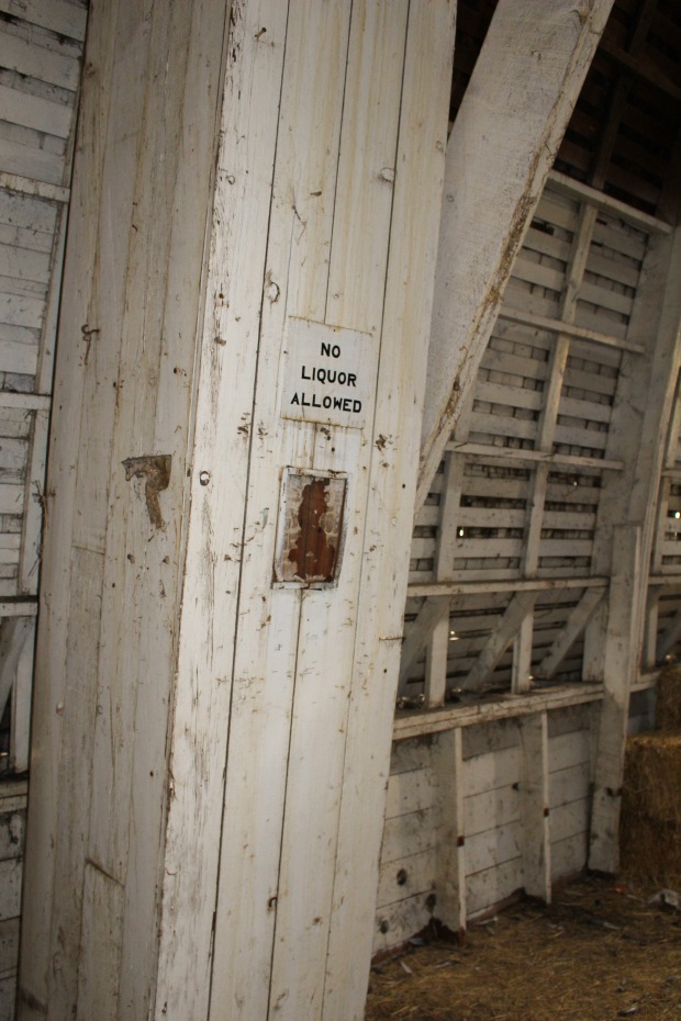
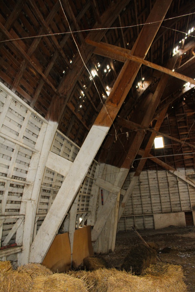
Additional History on the Properties
Alberta Energy Regulator’s Operating and Abandoned Coal Mines in Alberta


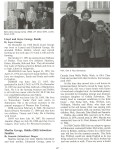


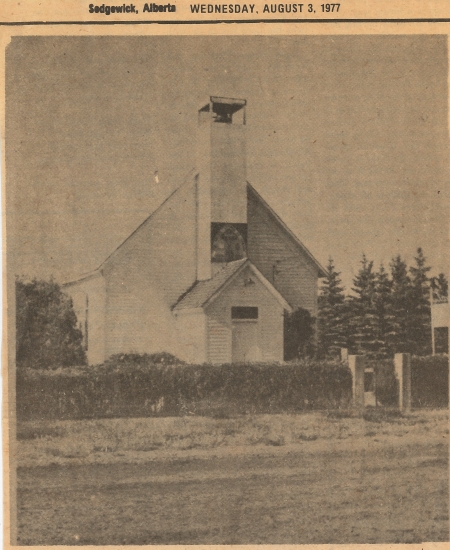
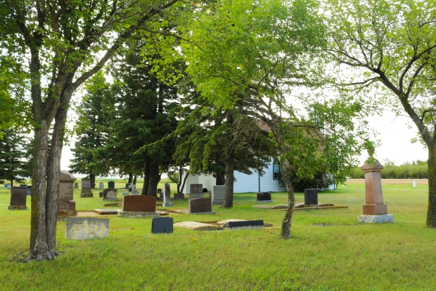
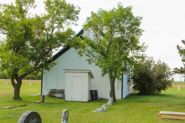
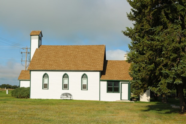
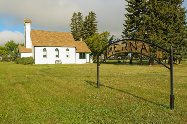
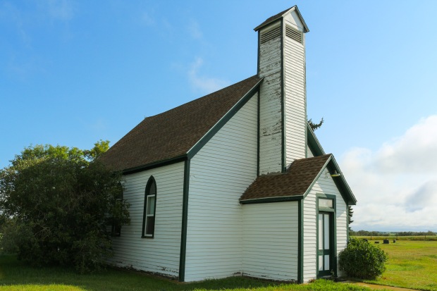


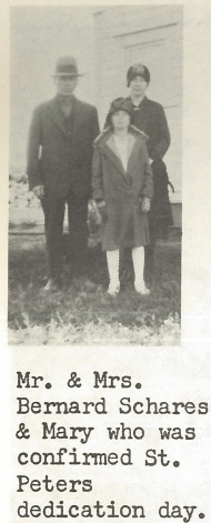
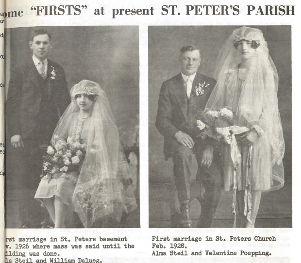
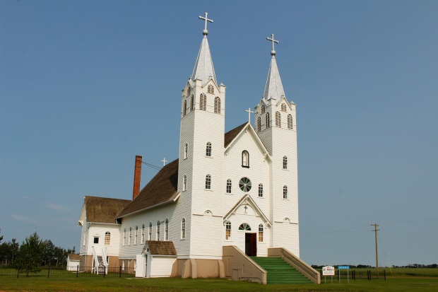
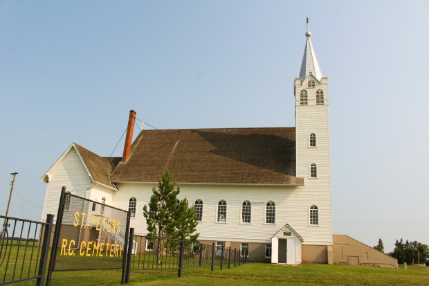
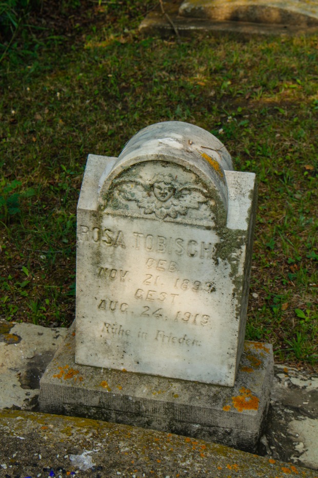
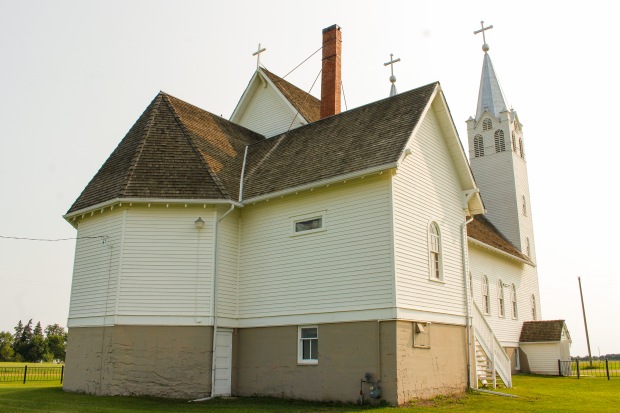
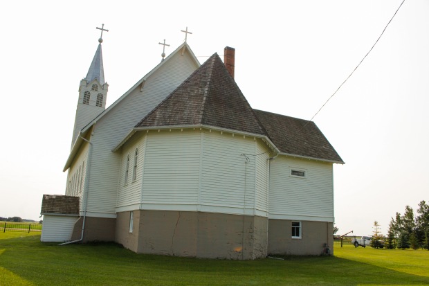
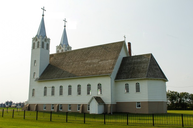
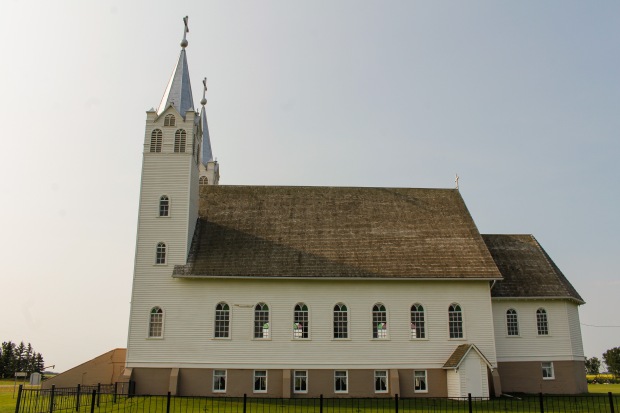
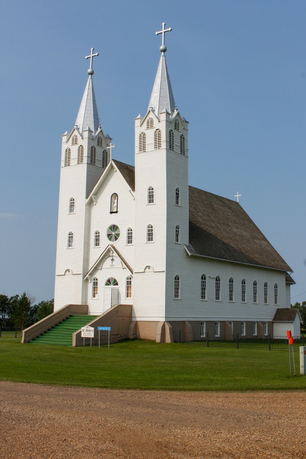
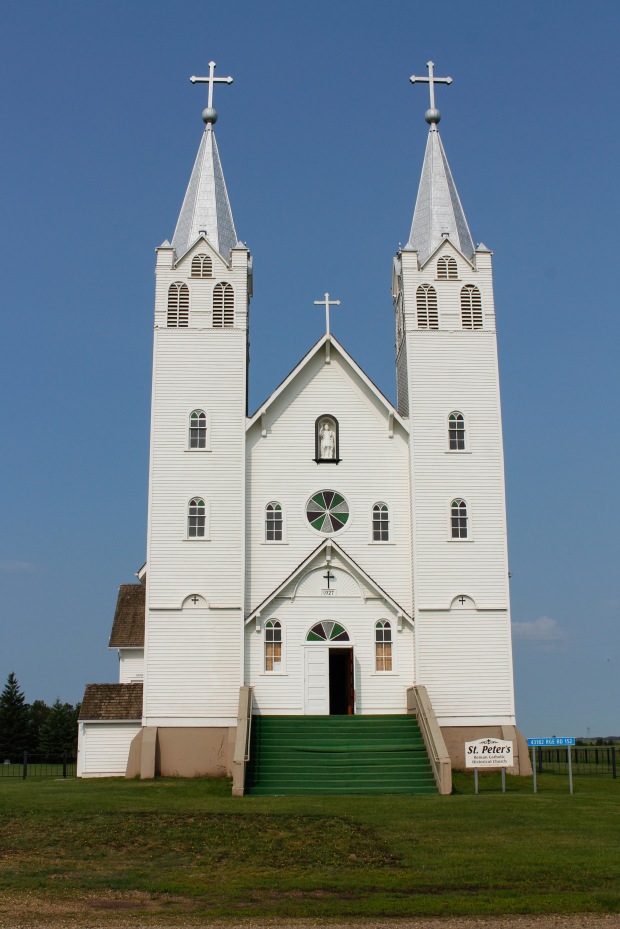
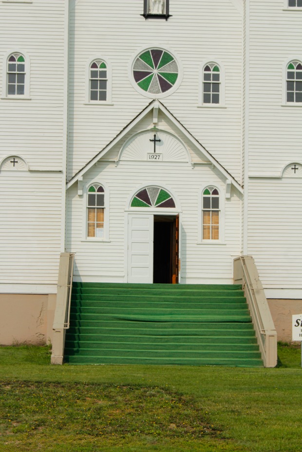
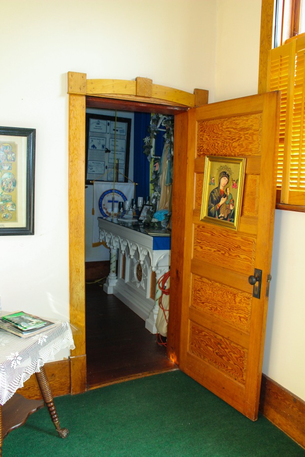
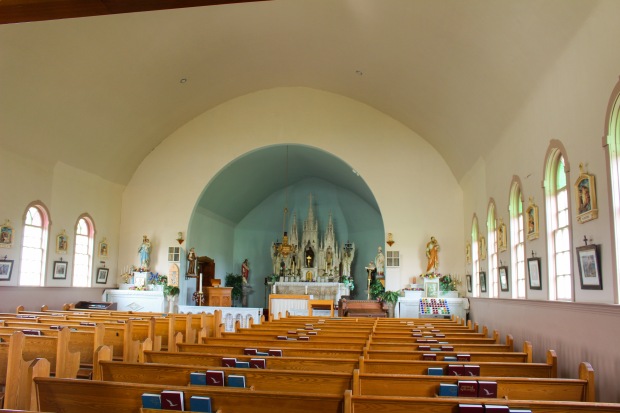
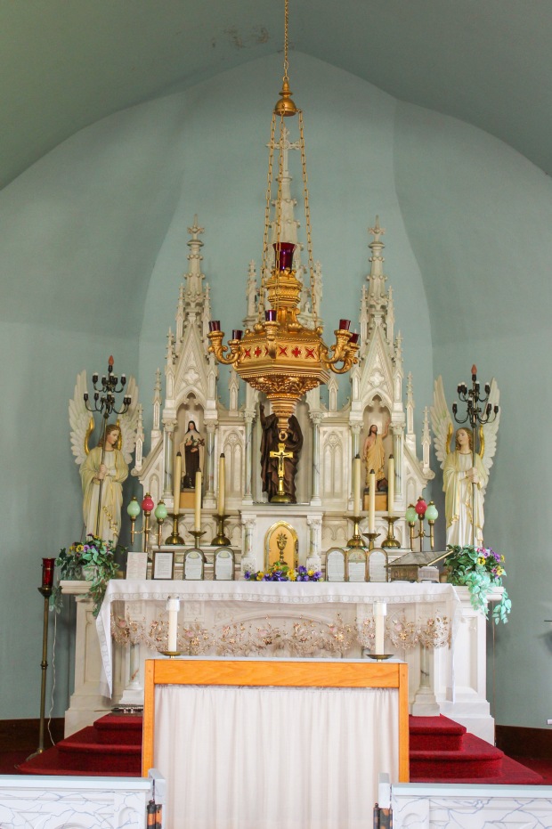
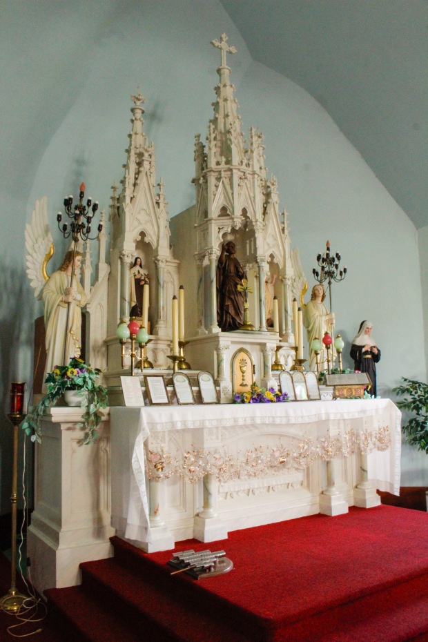
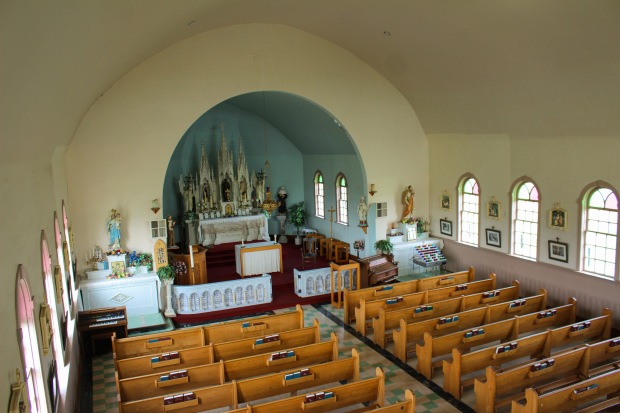
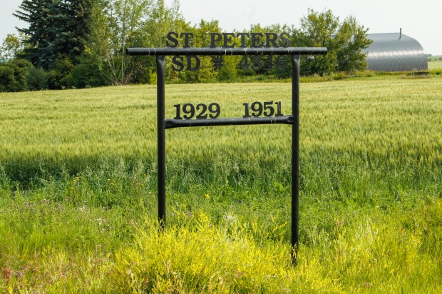
 St. Peter’s Roman Catholic church began out of necessity. Many of the parish’s members had to travel 15 to 20 miles between 1907-1909 to attend